Boston Meteorologist Coming to Wareham to Discuss Mighty Storms
WBZ Boston meteorologist Eric Fisher said there’s never a dull moment when it comes to weather in our region.
“The thing about New England, it’s a lot of job security for a meteorologist,” Fisher said in an appearance on WBSM. “We get everything around here. Every month of the calendar can bring something different.”
“The only thing that we don’t get here are dust storms, at least not yet,” Fisher said with a laugh. “It seems to be getting wetter and not drier overall as the decades pass. In terms of other types of weather, we’re absolutely vulnerable to all of it.”
The good news, however, is that meteorologists are constantly gaining new tools to help them make more accurate and long-ranging forecasts.
“There are ways we can watch the weather and prepare rather than just being at the whim of whatever Mother Nature throws at us,” Fisher said.

On Saturday, June 18, Fisher will be giving a presentation at the Wareham Free Library on some of New England’s mightiest storms and weather events, and talking about all things weather and meteorology. It’s free to attend and scheduled to begin at 1 p.m. in the main meeting room of the library.

Even though June may seem like an odd time to discuss storms – it’s usually a relatively calm month weather-wise – it’s also the beginning of the Atlantic hurricane season. However, Fisher said June is more about watching for severe thunderstorms and tornadoes.
“The biggest instance of that was back in 2011 we had that monster tornado that came through Springfield to Charlton, and one of the more famous tornadoes, the Worcester tornado, also happened in early June,” Fisher said. “So it’s a month that can keep us on our toes in between the nice days.”
Are occurrences of tornadoes on the rise here?
“That’s a question we get as meteorologists here in New England, are we getting more tornadoes? And the data actually says ‘probably not’ is the answer, but what we are certainly without a doubt getting more of are tornado warnings, and the reason for that is better detection,” he said. “Less than 10 years ago, they rolled out a new generation of radar called dual polarization radar, and it’s a way that we can look into storms with higher resolution. It’s much easier for us to see in particular New England-type tornadoes, which are small, quick, they don’t last very long and they spin up rapidly and dissipate within a matter of minutes.”
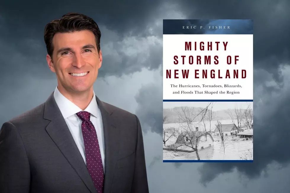
In October of 2021, Fisher published Mighty Storms of New England: The Hurricanes, Tornadoes, Blizzards, and Floods That Shaped the Region.
“There are a lot of books out there about individual storms and particular weather events where you can go in-depth,” he said. “This is kind of like a gateway book to any New England weather enthusiast, somebody who has been through a number of storms, kind of looking at a top 20 list. It’s 20 of the biggest events in New England history; there could be a couple hundred big events in New England history, but these are some of the biggest, the outlier storms we’ve seen.”
He said when he was thinking about writing the book, he went back and forth on whether to make it more technical or more about the people’s stories associated with the storms.
“I tried to balance and look at each storm and the meteorology behind it – why it happened, the ingredients that came together,” Fisher said. “What we look at as meteorologists to see if something big is about to happen, to share some of the stories about what happened in certain communities, the impact of what happened on the ground, but then share what happened afterward.”
“What really stuck out to me after writing it is that each one of the biggest events led to some sort of societal change,” he said.
Fisher said some of those changes included the creation of the National Hurricane Center in the wake of Hurricanes Carol, Edna and Hazel tearing up the East Coast in 1954, and that the 1953 Worcester tornado led to the creation of the precursor to the Storm Prediction Center and a rollout of using Doppler radar to track storms across the country. He said you can even go back as far as the 1888 blizzard that sped up the production of the subway systems in New York and Boston.
So what was the mightiest storm New England has ever seen?
“When it comes to snowstorms, it’s still the Blizzard of ‘78,” Fisher said. “There hasn’t been anything that has really topped it, and even though there are some storms recently that have been pretty close to it in nature, you can’t really duplicate the impact of it.”
“When it comes to tropical systems, I think ‘38 is really at the top of the list,” he said. “The Hurricane of ‘38 was just a very unique storm, a very fast-moving storm and tremendous amount of tree damage. It’s hard to even fathom that ever happening again, what it would look like around here.”
LOOK: The most expensive weather and climate disasters in recent decades
Gallery Credit: KATELYN LEBOFF
LOOK: The most extreme temperatures in the history of every state
Gallery Credit: Anuradha Varanasi
KEEP READING: What to do after a tornado strikes
More From WFHN-FM/FUN 107