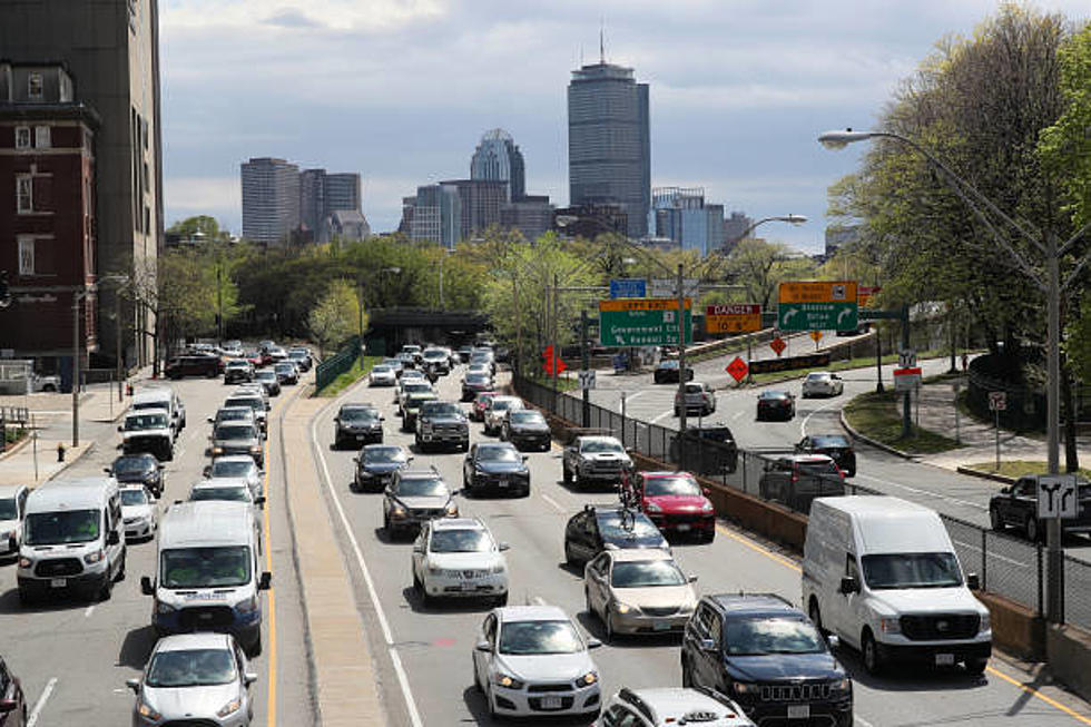
These Are The 11 Deadliest Roads in Massachusetts
Massachusetts residents are known to have some pretty wild reputations, whether it be our rabid sports fans or that sweet accent (which really only a very small percentage of us actually have) nothing quite defines us like our drivers.
While New York might have the reputation of being the worst driver in the U.S., some argue a strong case that, in fact, Massholes (it’s in the Oxford Dictionary, look it up) really take the cake.
The National Highway Traffic Safety Administration is an organization that releases data about the number and location of fatal injuries suffered in traffic accidents across the country. In recent years, Massachusetts has tended to rank near the top of the annual list.
In a 2022 Massachusetts Department of Transportation Board Meeting, Transportation Secretary Jamey Tesler reported a “significant increase in roadway fatalities over the last couple of years and serious injuries.” In fact, road fatalities rose by 50% in 2020, according to the Boston Herald, despite reduced traffic across most of Massachusetts roads and highways during the COVID-19 shutdowns. As such, many new initiatives are being considered throughout the state to hopefully re-order certain traffic patterns, increase funding for risk prevention programs, and reduce fatalities on MA roads overall.
These Are the Five Most Dangerous Roads in Massachusetts
1. I-93
I-93 runs 190 miles through Massachusetts, making its way to Canton, north to St. Johnsbury, Vermont. According to data from the NHSA, The most dangerous stretch of this highway is I-93 North, from Exit 39 to Exit 42. This one area of road sees 1.2 crashes per mile, over a distance of just 3.3 miles. The Andover roadway is one of the riskiest areas to drive on I-93.
2. ROUTE 24
This commuter road is relatively short by Massachusetts highway standards coming in at just under 34 miles. For such a short, straight shot through the state, Route 24 sees a disproportionately high amount of fatal accidents. Traffic safety advocates blame reckless commuter drivers as well as poor design for some of the heightened risks of traveling on the Fall River Expressway.
3. INTERSTATE 290
North by Worcester, I-290 has some of the worst traffic and congestion in Massachusetts. Worcester sees the highest number of fatal car accidents out of all other Massachusetts counties and a majority of these crashes occur on I-290. 290 also has a large number of entrance and exit ramps, known as “friction areas,” between Route 146 and the I-190 interchange on I-290. While friction areas are typically spaced at least one to two miles apart, all eight hotspots are unusually located within a three-mile radius of one another.
4. ROUTE 95
As a major thoroughfare of the East Coast, 1-95 is one of the most dangerous roads in the United States. Outside of the Orlando, Florida area, the Massachusetts portion of Route 95 sees some of the worst of it. The National Highway Traffic Association reports that the deadliest highway in the United States was I-95 in recent years. In 2019, I-95 had 284 fatalities, the highest overall number for US highways. It also had the highest rating for fatalities per mile, at 14.88 per every 100 miles of road. With approximately 92 miles of road in Massachusetts, this dangerous thoroughfare is one reason why Massachusetts’s dangerous roadway ranking remains so high overall.
5. I-495
While I-95 is designated as one of the most dangerous highways in the United States, Massachusetts’s alternative route, I-495, is now being considered as a possible runner-up. Early reports from 2022 show that I-495 may surpass I-95 as Massachusetts’s deadliest stretch of road. There are about 10 deaths reported along I-495 per year as it circumnavigates the City of Boston. The area on I-495 South from Stow Road to Exit 70, passing through the Bolton and Harvard Station area, is considered to be one of the riskiest portions of road in the state.
6. I-195
While I-195 was originally constructed to solve traffic issues connecting Providence, RI, and the I-95 corridor with Fall River, New Bedford, and Cape Cod, this local road has its own risks. Along the 45-mile route, the towns of Rehoboth and Swansea saw a number of fatal crashes according to 2019 data, with an average of 0.6 crashes per mile measured along a distance of just under five miles. This stretch of I-195 also saw three fatalities in this relatively small distance.
7. I-291
This North-South highway that merges with I-91 via a flyover, is a useful commuter connection through Springfield. Because of those connections with major highways, I-291 is more dangerous for Massachusetts motorists.
8. ROUTE 49
From US 20 in Sturbridge to Route 9 in Spencer, this stretch of road is extremely dangerous for how short it is, at just under eight miles. The number of fatal crashes has contributed to a growing concern about highway design flaws and a lack of a center median on Route 49.
9. ROUTE 25
ROUTE 25, also known as the Blue Star Memorial Highway, runs east to west connecting Plymouth and Barnstable County. This freeway access to Cape Cod is a well-known headache for Massachusetts drivers in the summer months, with backed-up traffic and congestion that stretches for miles.
10. I-84
Connecting the Massachusetts Turnpike to Connecticut, I-84 is often known to be backed up with traffic. Those delays and frequent construction also contribute to hazardous driving conditions along the Massachusetts stretch of I-84. Trucking accidents and wrong-way collisions are also not unheard of along this regional thoroughfare.
11. ROUTE 3
In October of 2019 alone, there were 567 crashes along Route 3 according to the MassDOT. Duxbury saw the most collisions at 122, with Plymouth at 99 and Braintree at 96 close behind. The traffic corridor in Scituate has been particularly troublesome, drawing state and local attention for its lack of signalization and heightened risks.
LOOK: See how much gasoline cost the year you started driving
Gallery Credit: Sophia Crisafulli
More From WFHN-FM/FUN 107