How the New Bedford Hurricane Barrier Came to Be
Hurricane Carol rammed Southern New England head-on on August 31, 1954. After first making landfall on Long Island, New York, Carol roared into coastal Connecticut and Rhode Island and is considered one of the worst tropical cyclones to strike those states.
Carol made landfall near Old Saybrook, Connecticut as a Category 3 hurricane. The National Weather Service (NWS) says the storm's sustained 80 to 100 mile per hour winds "pummeled the eastern half of Connecticut, all of Rhode Island, and much of eastern Massachusetts."
The National Weather Service says, "Carol's storm surge caused extensive coastal flooding along coastal Connecticut, Rhode Island, and south coastal Massachusetts." According to the NWS, "The largest surge occurred within Narragansett Bay and New Bedford Harbor, where over 14 feet of storm surge occurred."
Wikipedia reports a "20 feet storm tide was reported at New Bedford setting a record."

Wikipedia says Carol "destroyed nearly 40 percent of the apple, corn, peach, and tomato crops from eastern Connecticut to Cape Cod. Overall crop damage was estimated at $22.25 million."
Carol's wind and floods damaged 9,720 homes in New England. Another 1,545 homes were destroyed by the storm, as were 3,500 cars and 3,000 boats. Carol claimed 15 lives in New England.

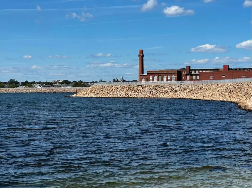
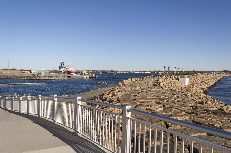
With devastating hurricanes in 1938, 1944, and 1954 it was time to take steps to protect the nation's most important fishing port, New Bedford. The U.S. Army Corps of Engineers erected the New Bedford Hurricane Protection Barrier.
The Corps says the barrier "protects about 1,400 acres in New Bedford, Fairhaven, and Acushnet from tidal flooding associated with hurricanes and coastal storms." The Corps says, "The area represents about 80 percent of land flooded in the September 1938 and August 1954 hurricanes, the latter storm causing $8.3 million in flood damages."


Construction of the barrier began in October 1962 and was completed in January 1966, costing $18.6 million. The Corps estimates the barrier system has prevented tens of millions of dollars in flood damage since its completion.
A 2014 state-funded study claims climate change could cause ocean levels to rise and the hurricane barrier to fail.
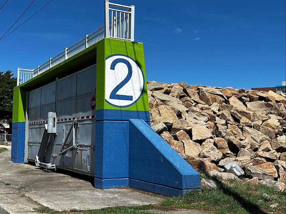
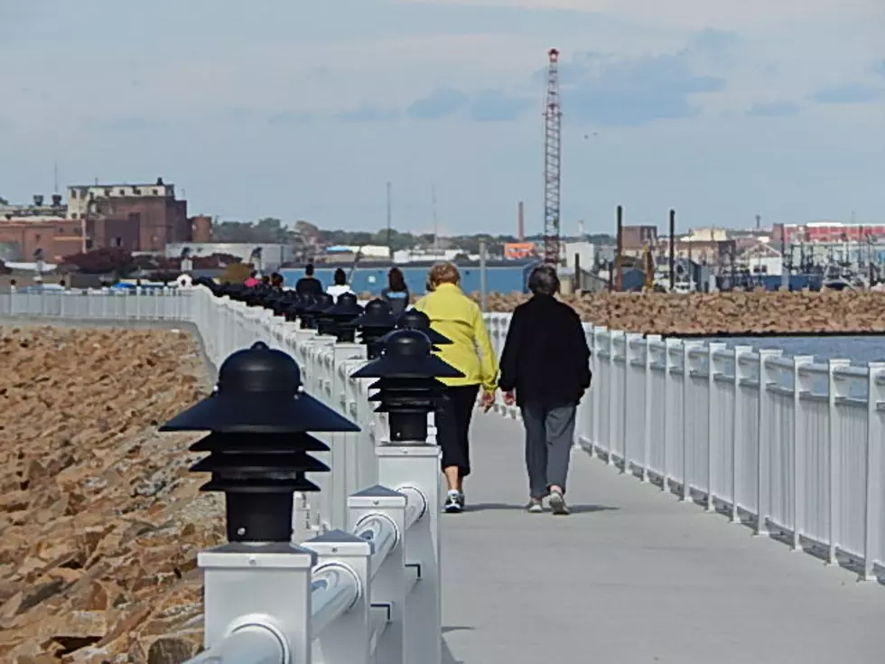
In 2015, Mayor Jon Mitchell opened the HarborWalk on top of the hurricane barrier on the east side of the peninsula. In 2017, the CoveWalk opened atop the barrier on the western side of the peninsula. Both lighted walkways are enjoyed by walkers and bicyclists alike.
LOOK: The most expensive weather and climate disasters in recent decades
Gallery Credit: KATELYN LEBOFF
KEEP READING: Get answers to 51 of the most frequently asked weather questions...
More From WFHN-FM/FUN 107